Ontario · Frontenac County
Frontenac County lake depth maps
Explore 79 lakes as 3D depth maps, built from Ontario MNRF bathymetric surveys — surveyed depth draped over real elevation and aerial imagery.
Featured depth maps
Where the lakes are
Dot size and shade follow max depth: under 15 ft 100 ft and deeper
Group of nearby lakes
All 79 mapped lakes in Frontenac County; deepest is Mazinaw Lake at 440 ft. Tap a numbered circle to zoom in, then a dot to open a lake.
Depth (ft)
–
Acreage
–
Max weeds (aquatic veg %)
%
District / county
Fish species (surveyed lakes)
Surveyed since (fishery)
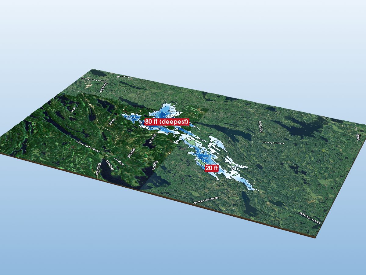
Bobs Lake
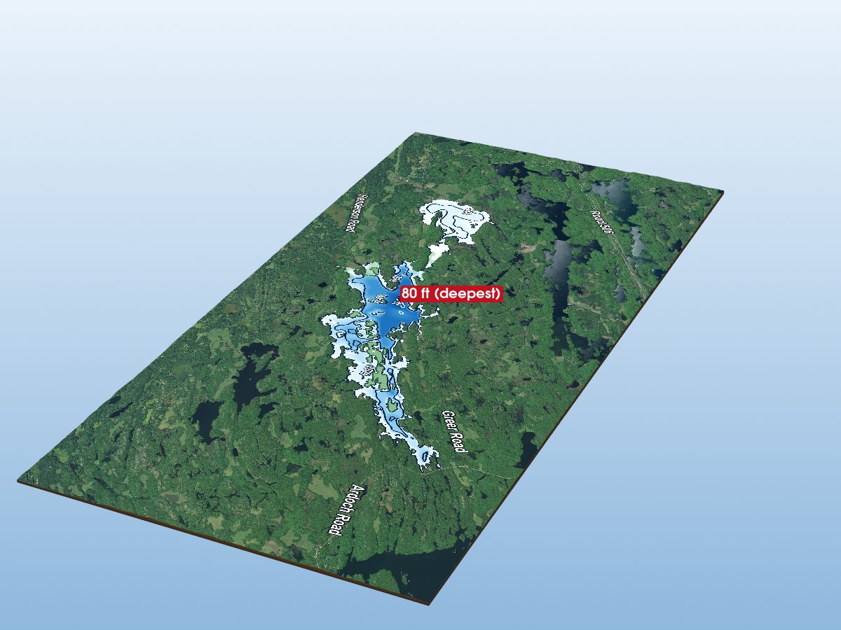
Big Gull Lake
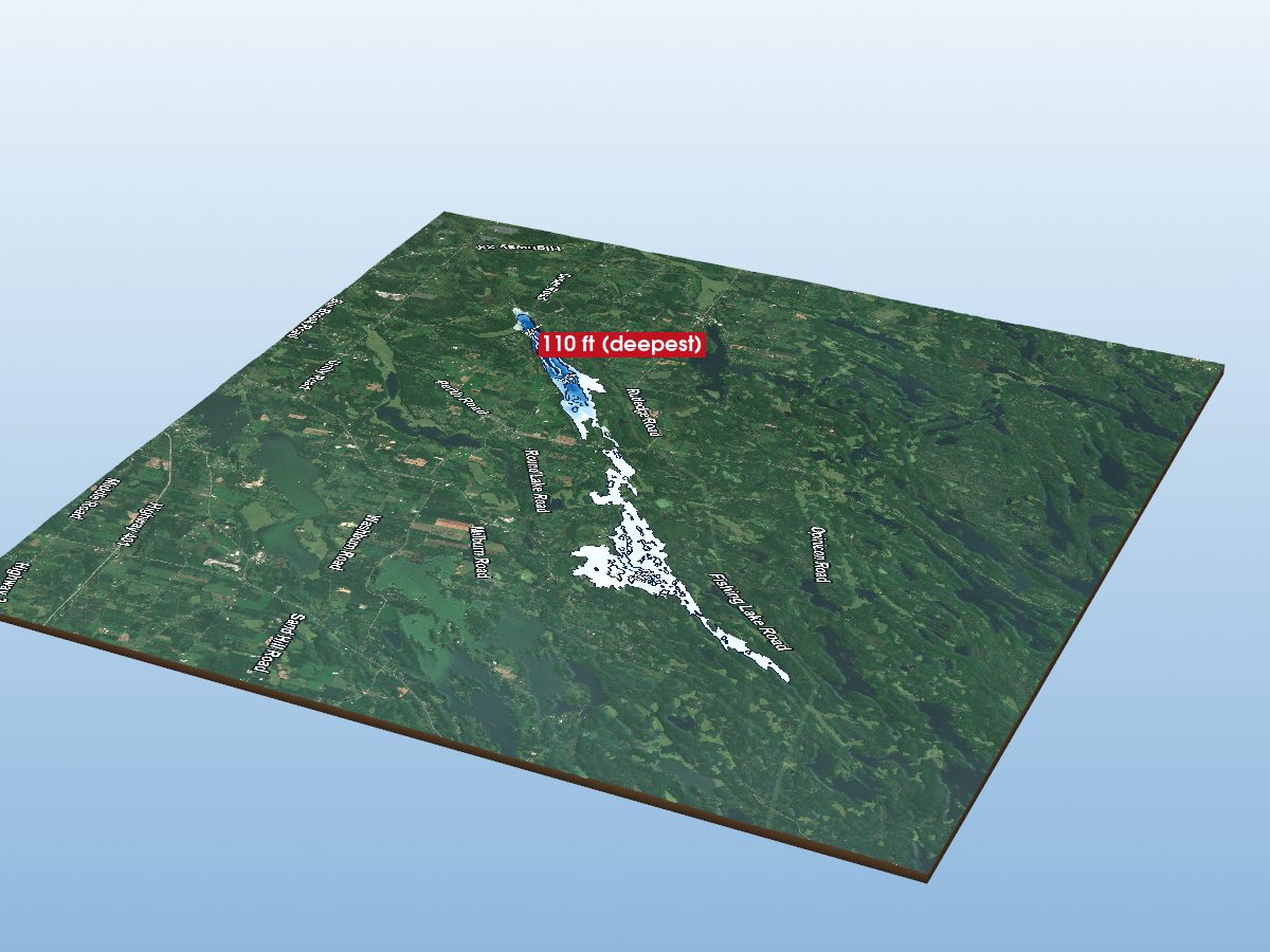
Loughborough Lake
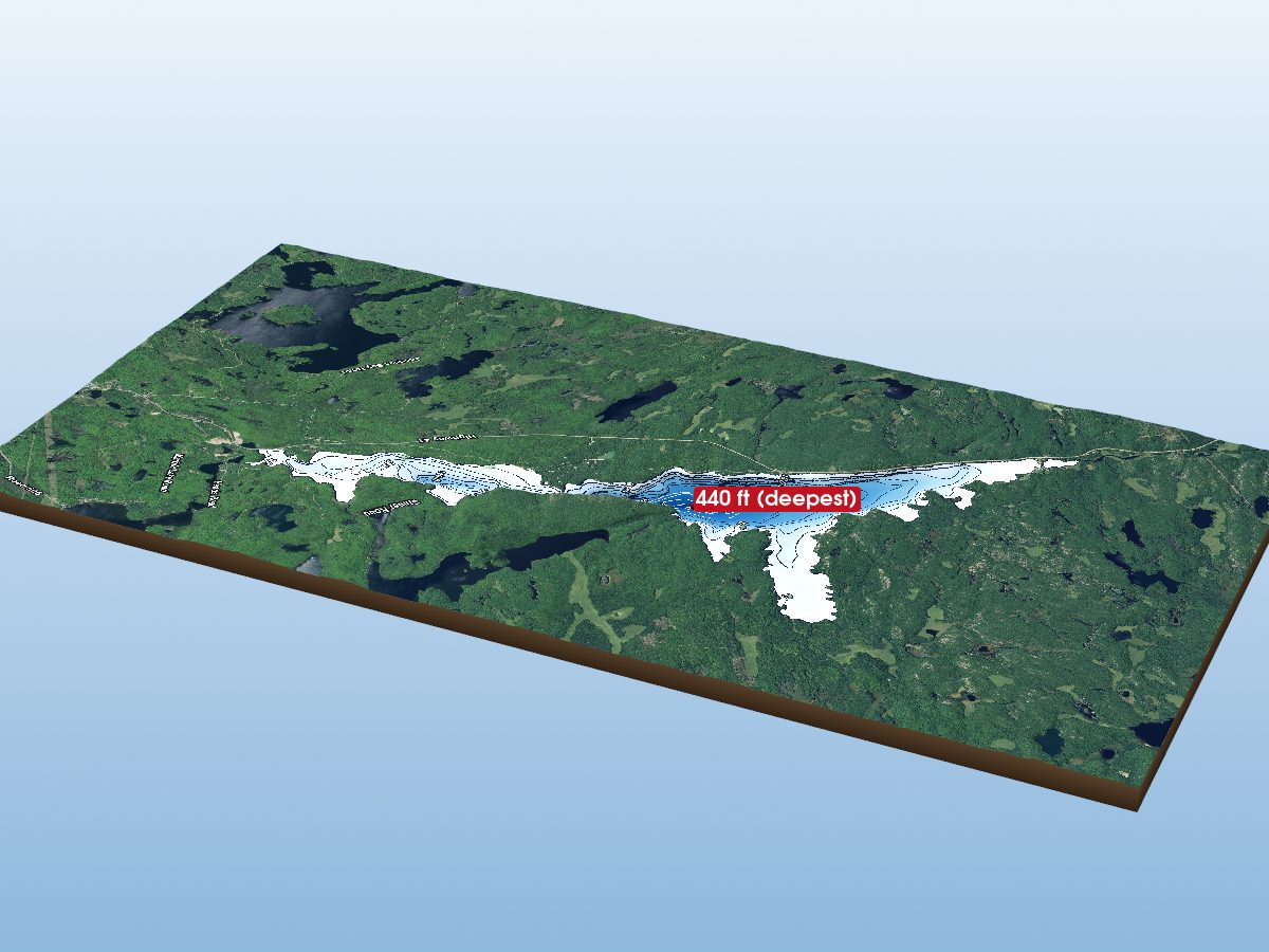
Mazinaw Lake
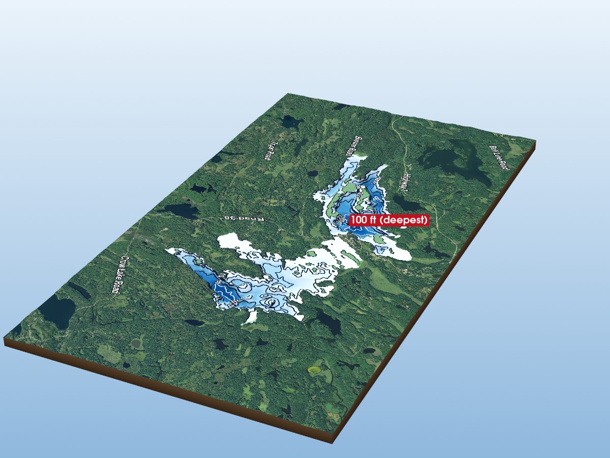
Sharbot Lake
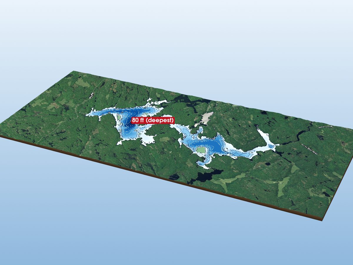
Crotch Lake
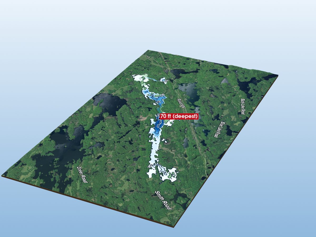
Kashwakamak Lake
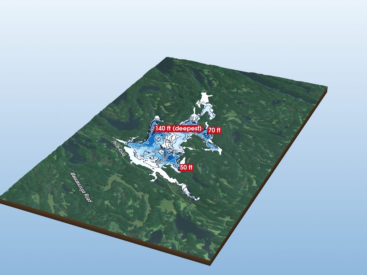
Devil Lake
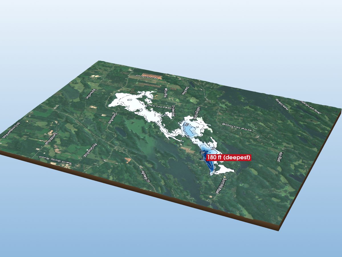
Dog Lake
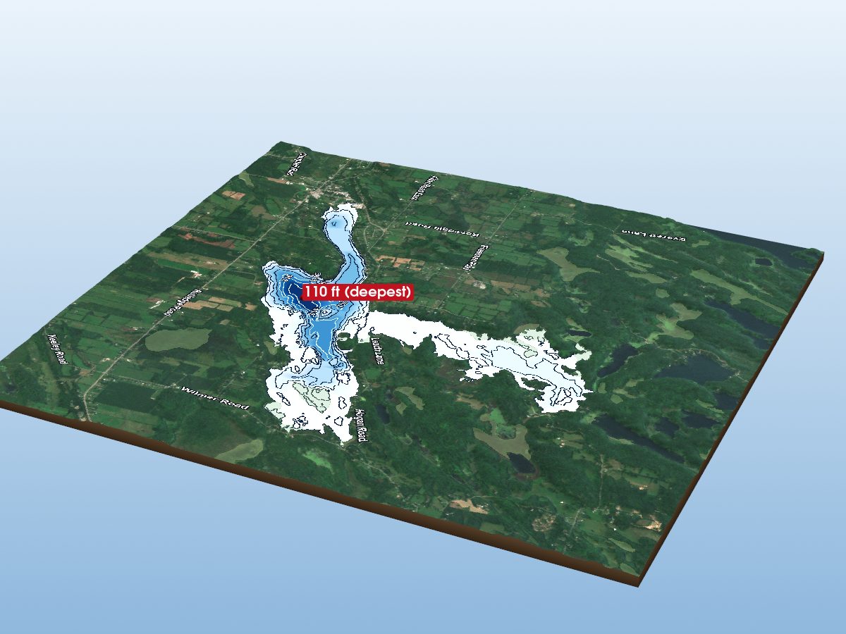
Sydenham Lake
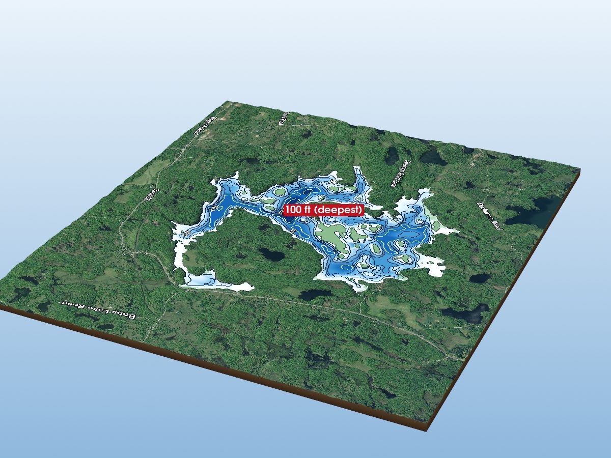
Eagle Lake
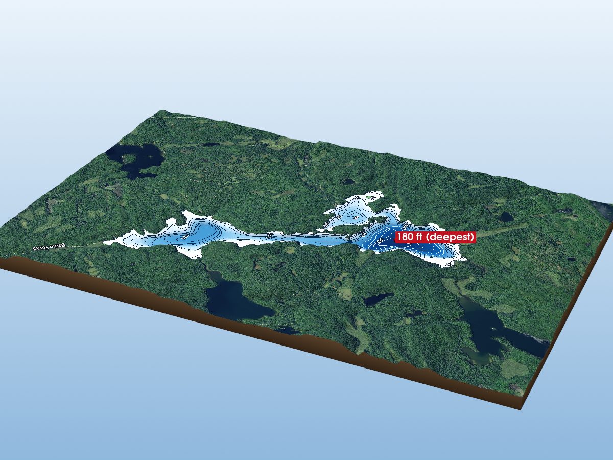
Brule Lake
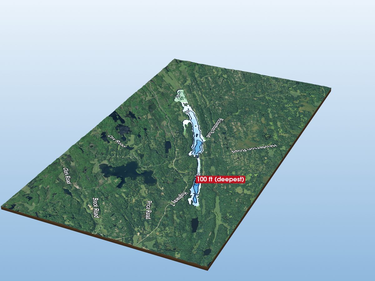
Kennebec Lake
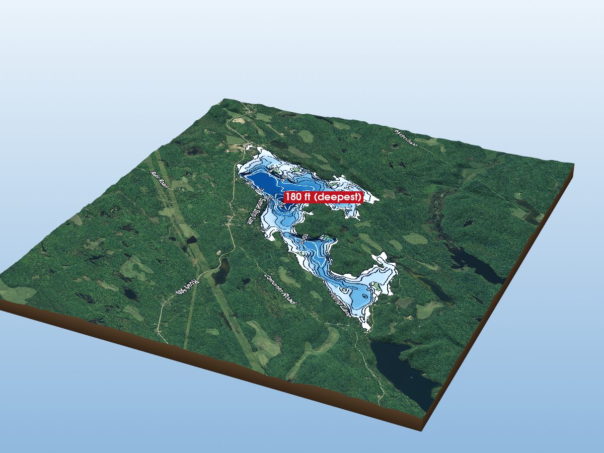
Palmerston Lake
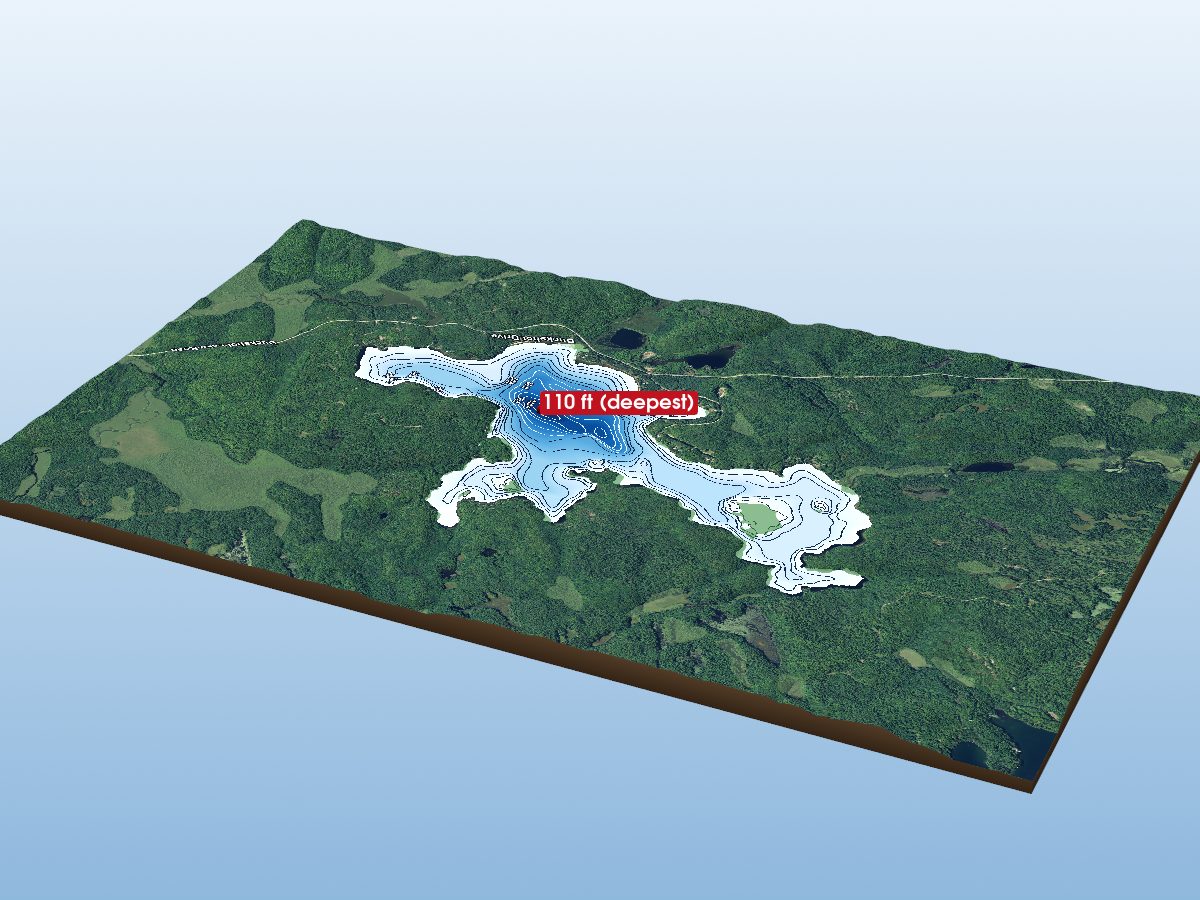
Buckshot Lake
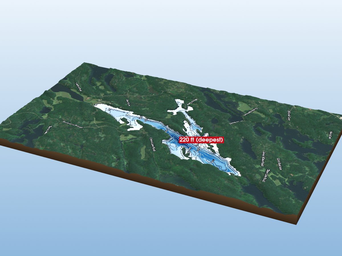
Desert Lake
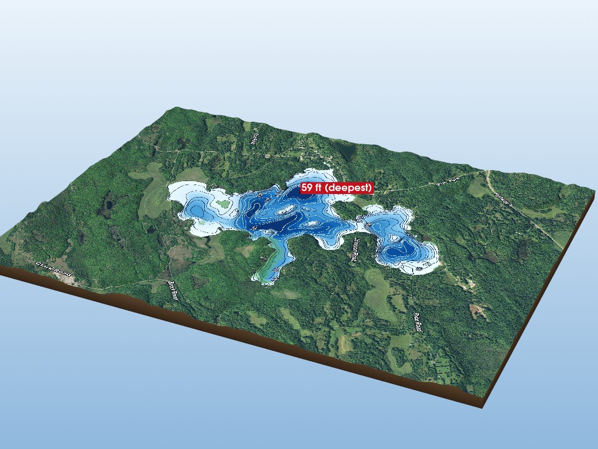
Big Clear Lake
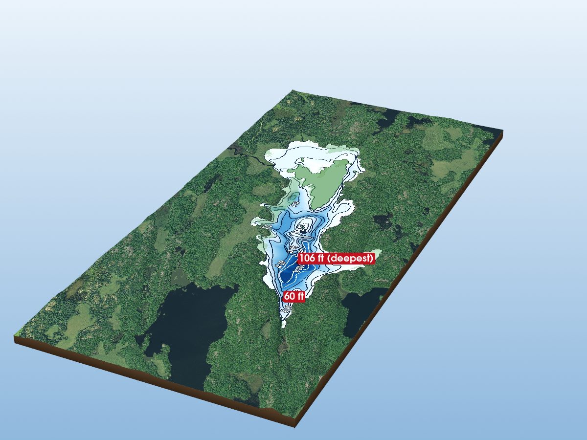
Hungry Lake
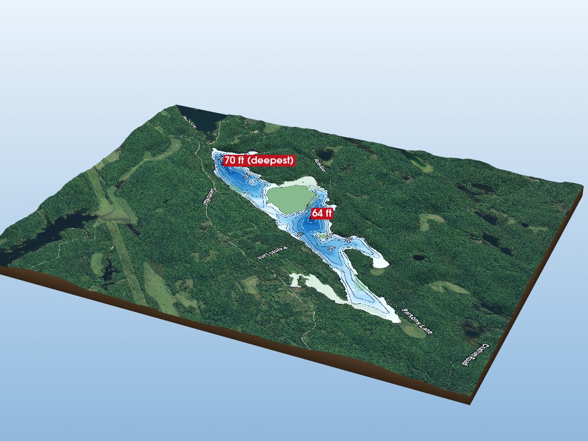
Canonto Lake
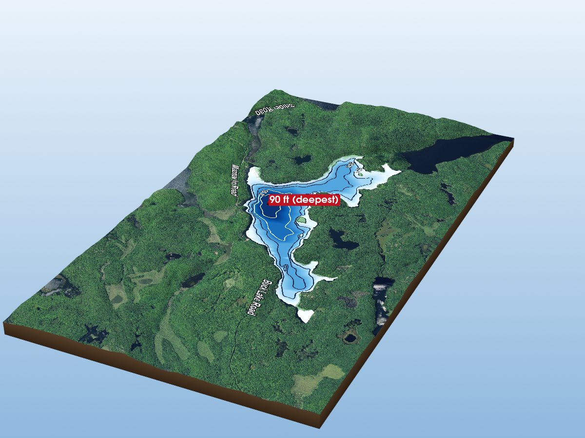
Shabomeka Lake
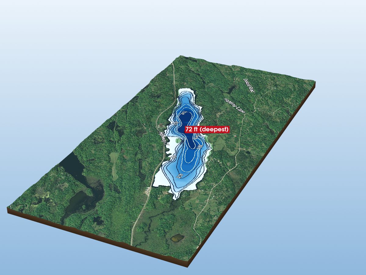
Silver Lake
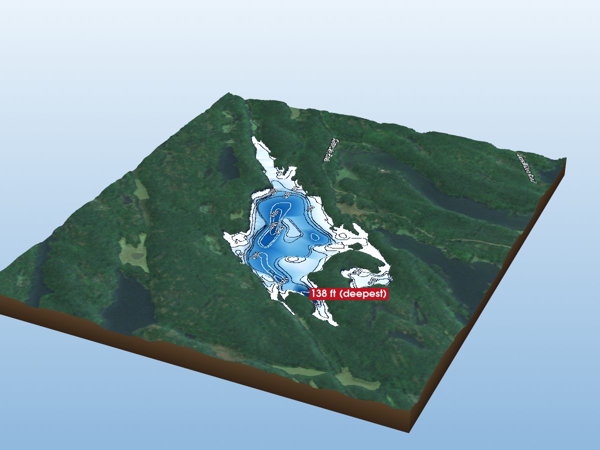
Birch Lake
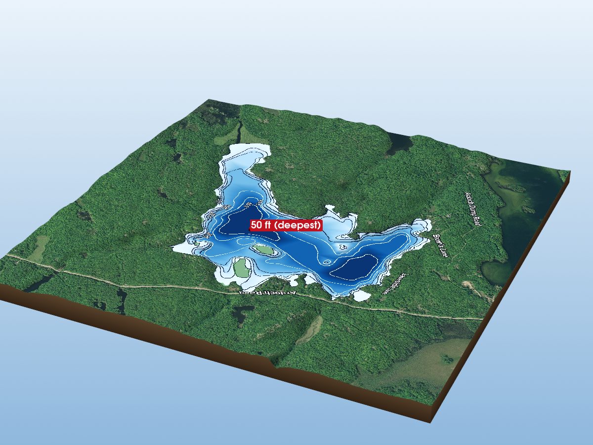
Pine Lake

Govan Lake
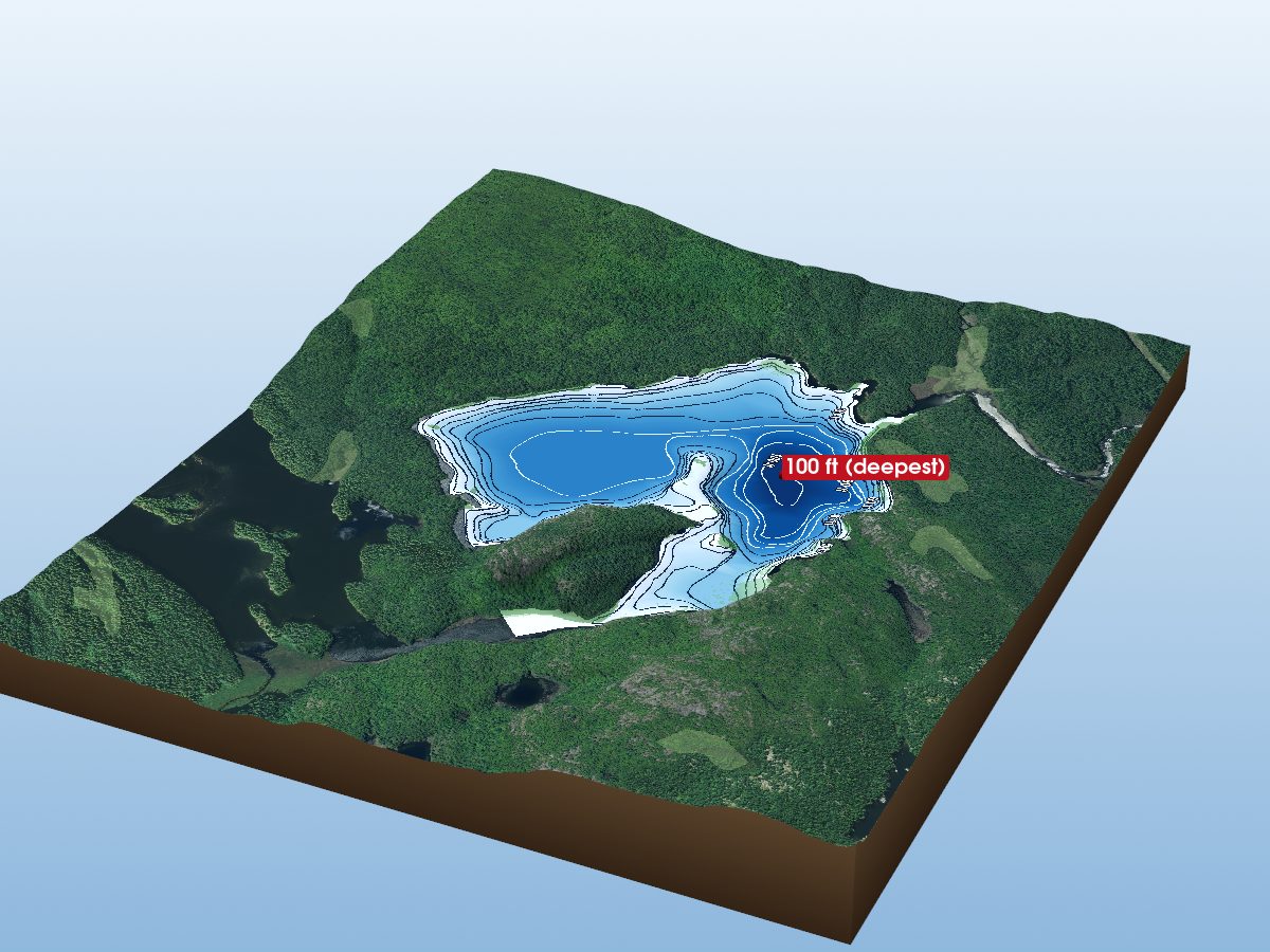
Round Schooner Lake
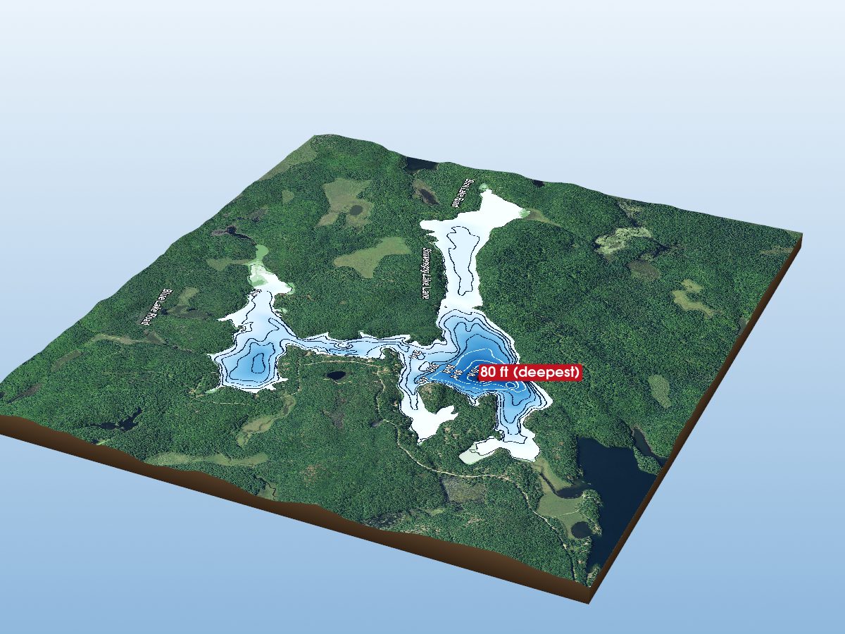
Shawenegog Lake
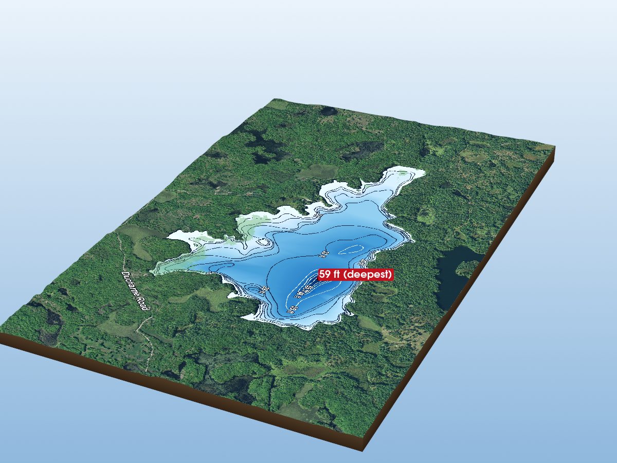
Leggat Lake
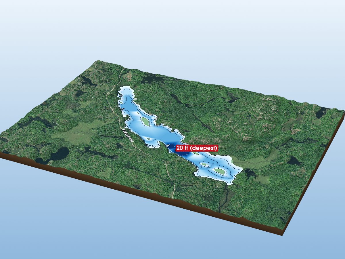
Fifth Depot Lake
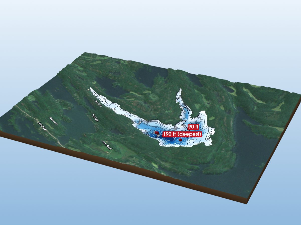
Big Clear Lake
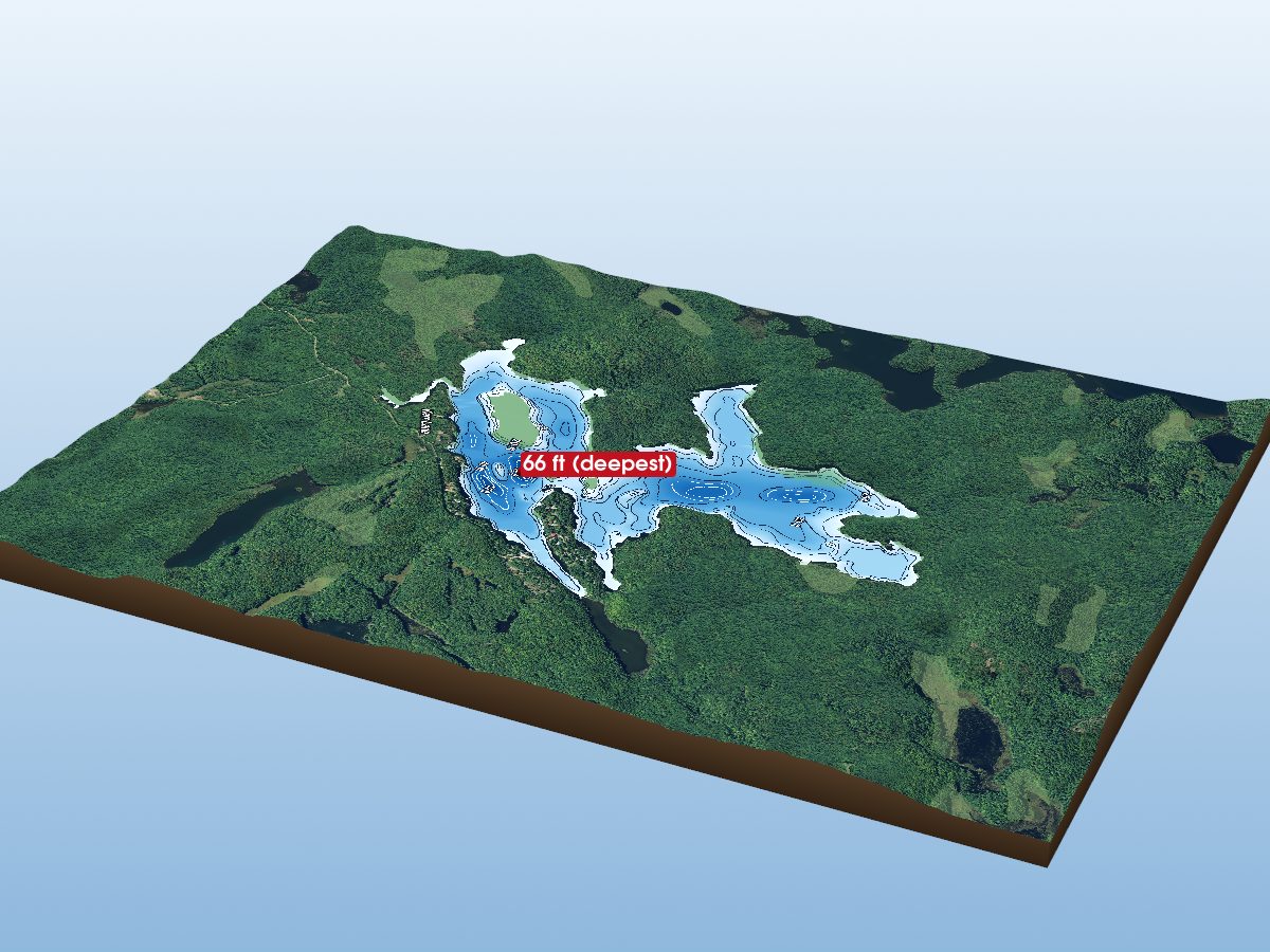
Grindstone Lake
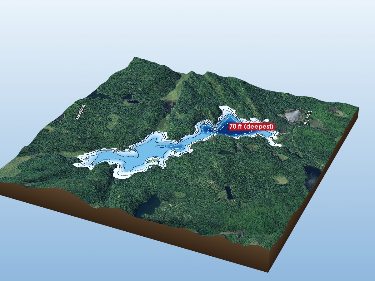
Mackie Lake
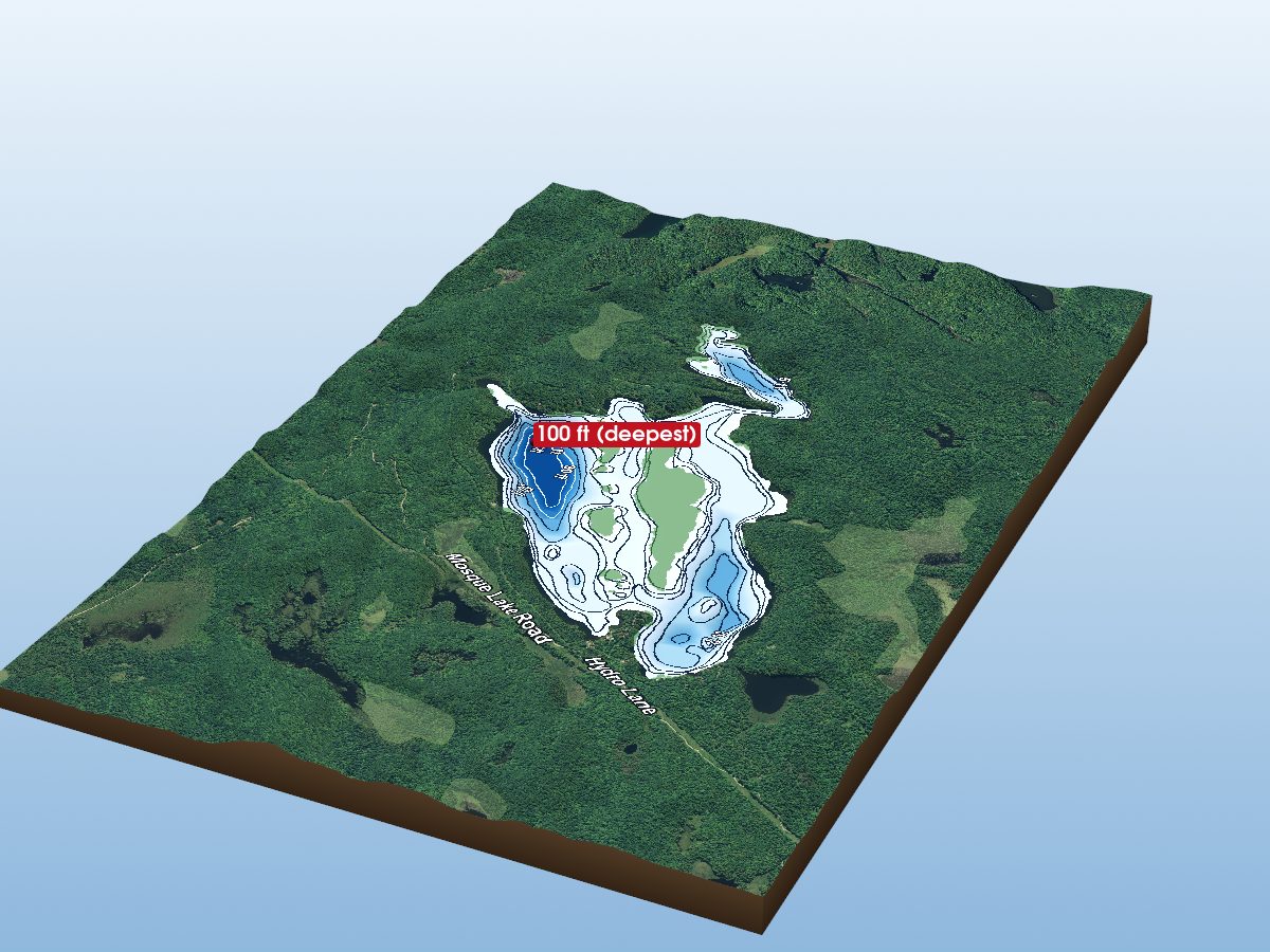
Mosque Lake
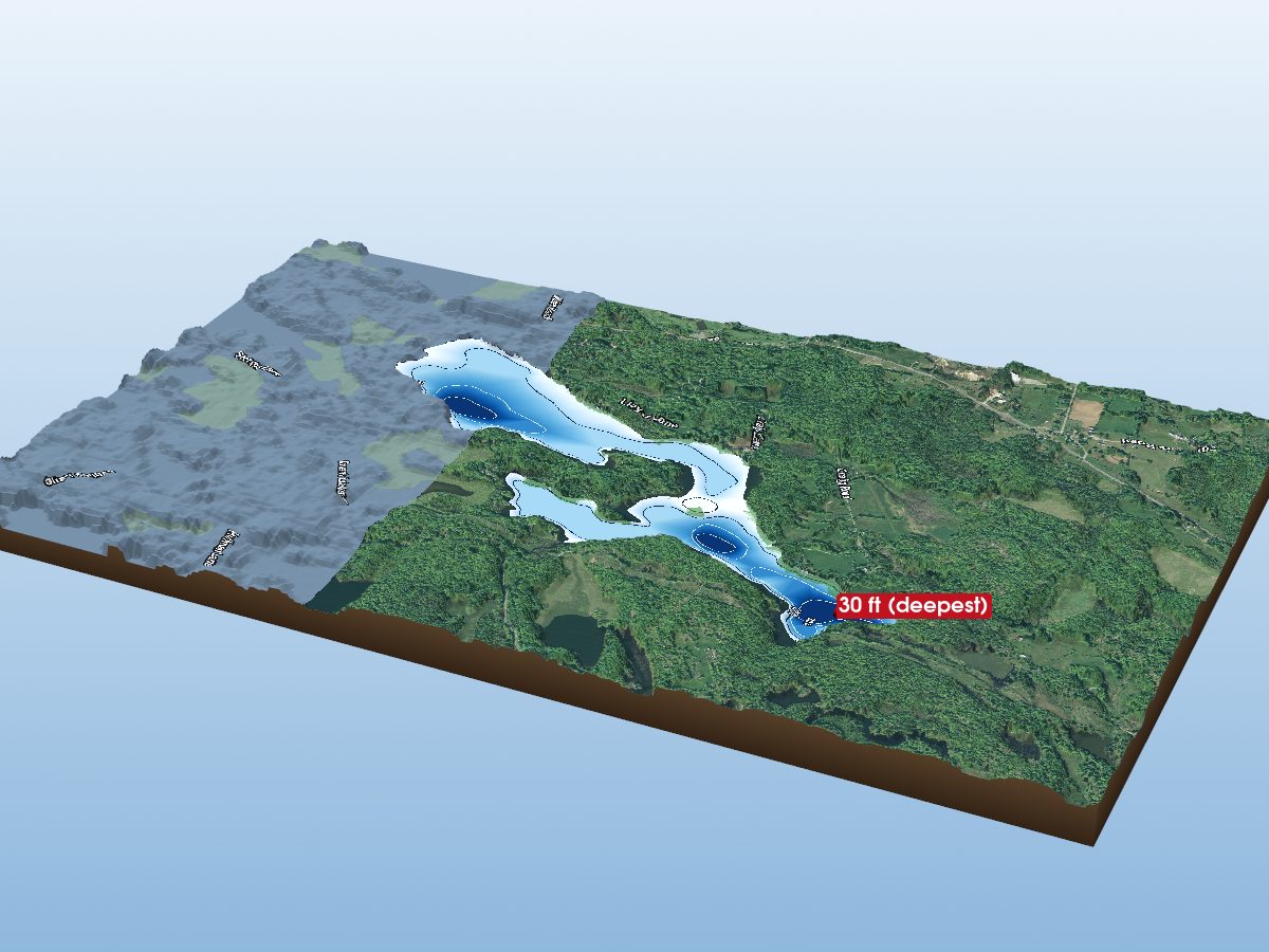
Howes Lake
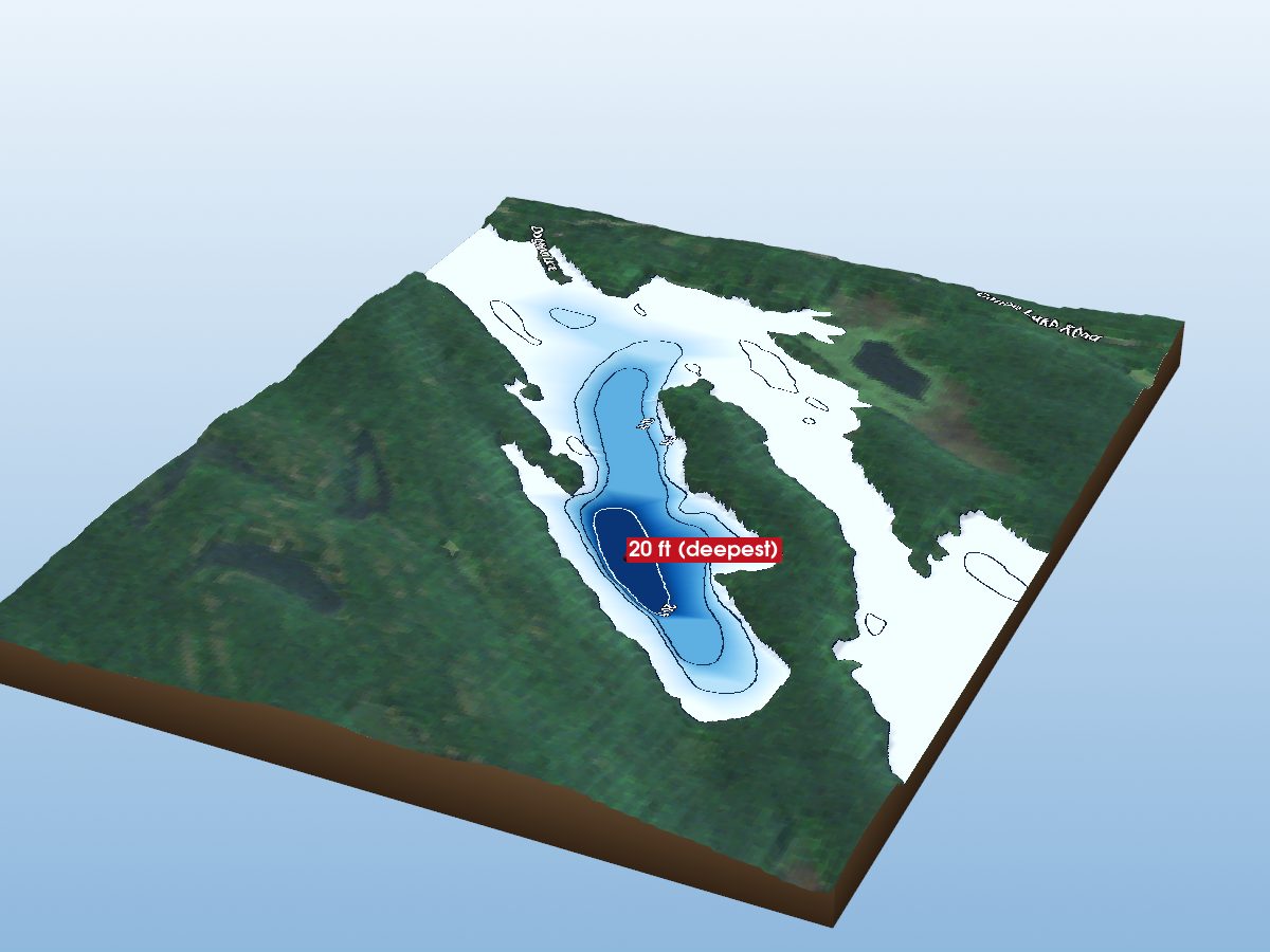
Kingsford Lake
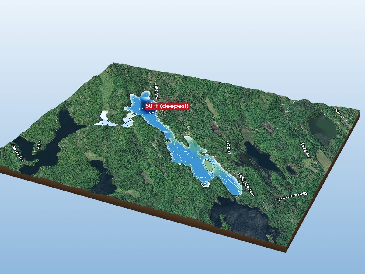
Bull Lake
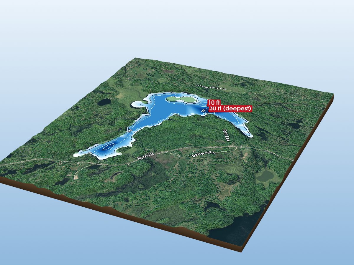
Elbow Lake
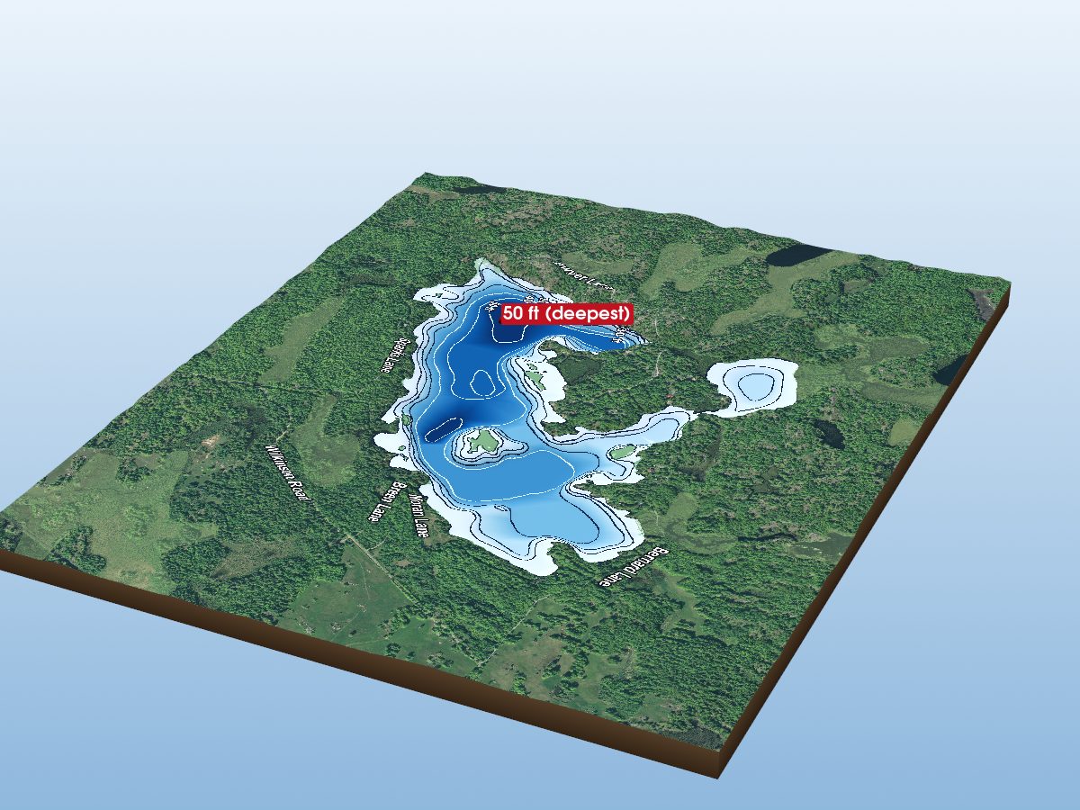
Chippego Lake
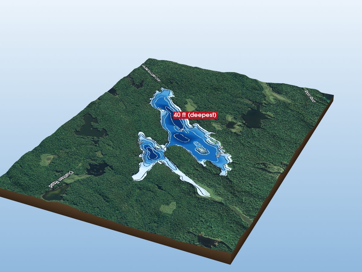
Redhorse Lake
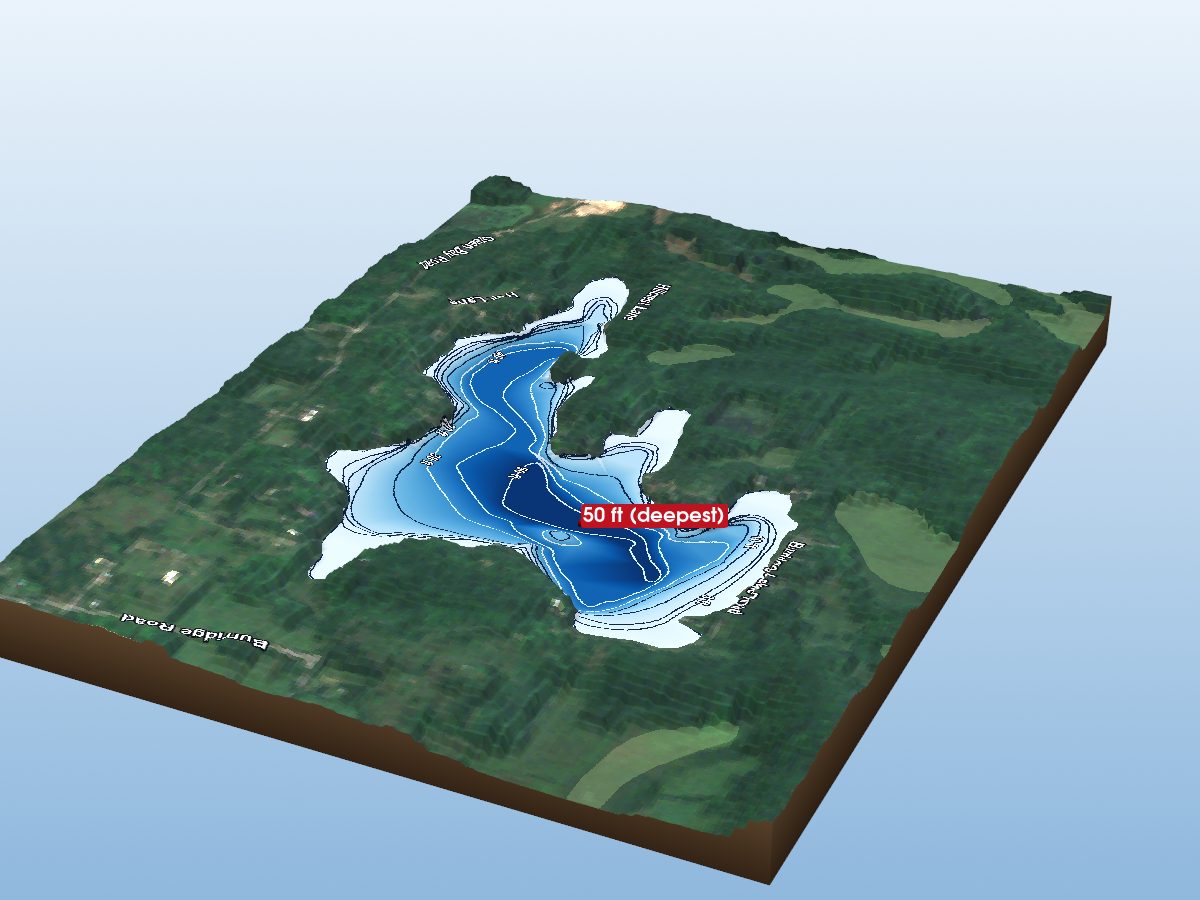
Burride Lake
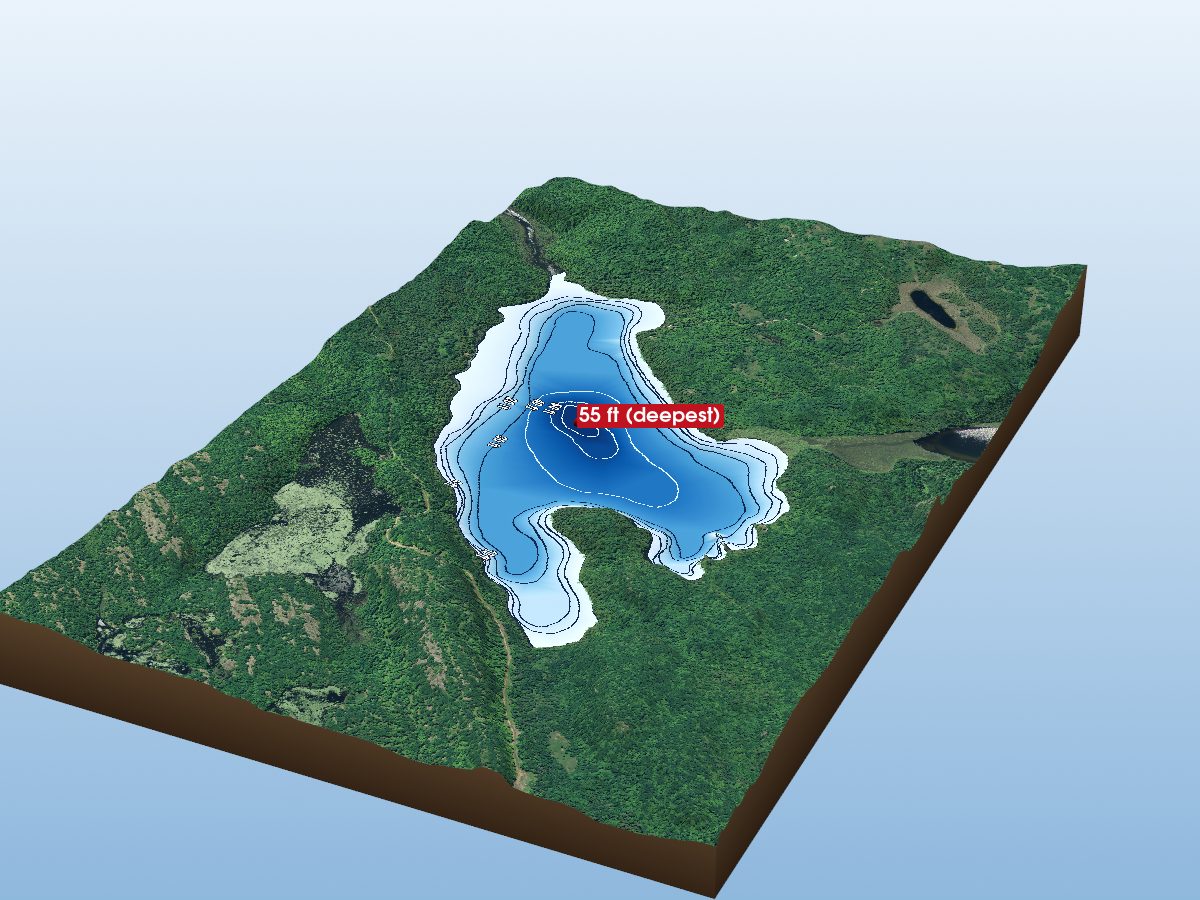
Ardoch Lake
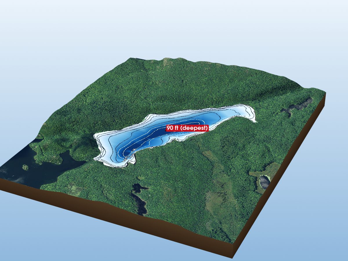
Kishkebus Lake
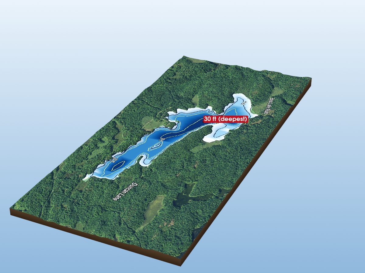
Bass Lake
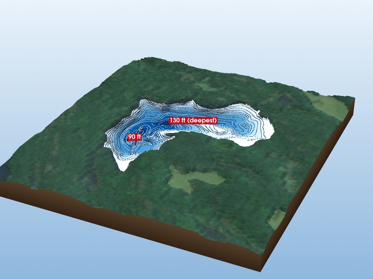
Little Clear Lake
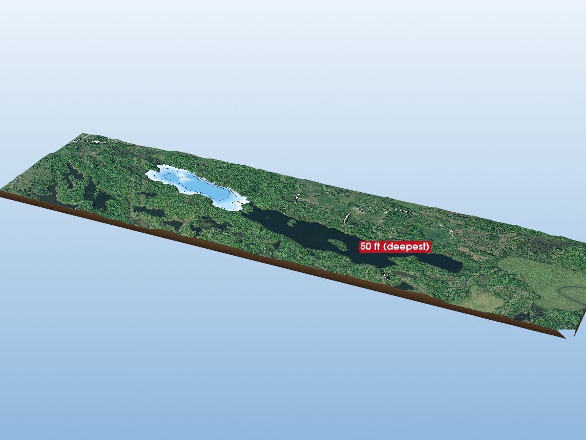
St. Andrews Lake
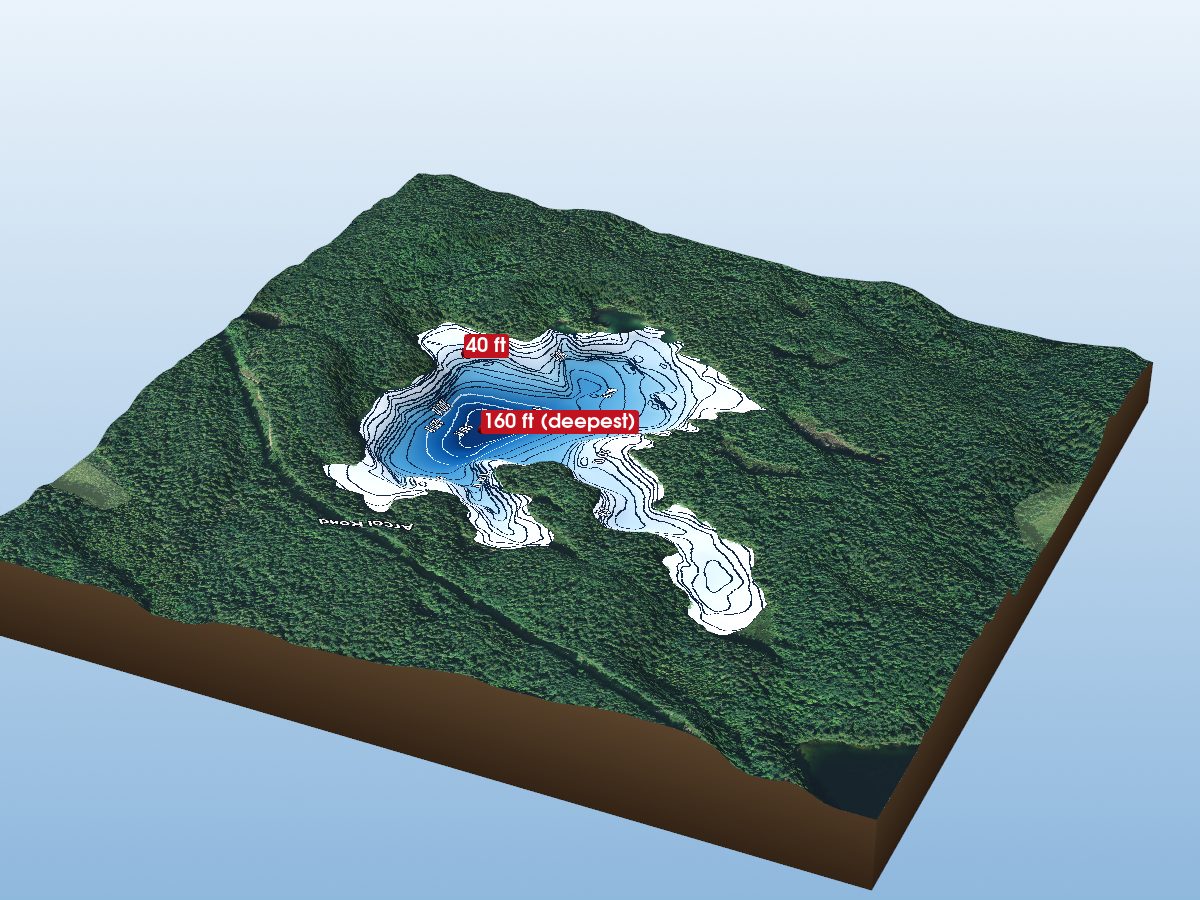
Mair Lake
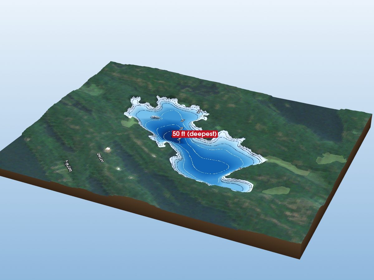
Labelle Lake
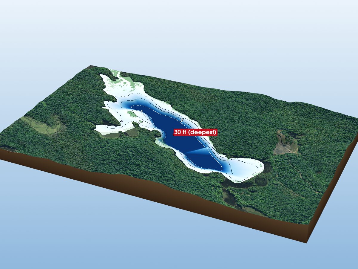
Summit Lake
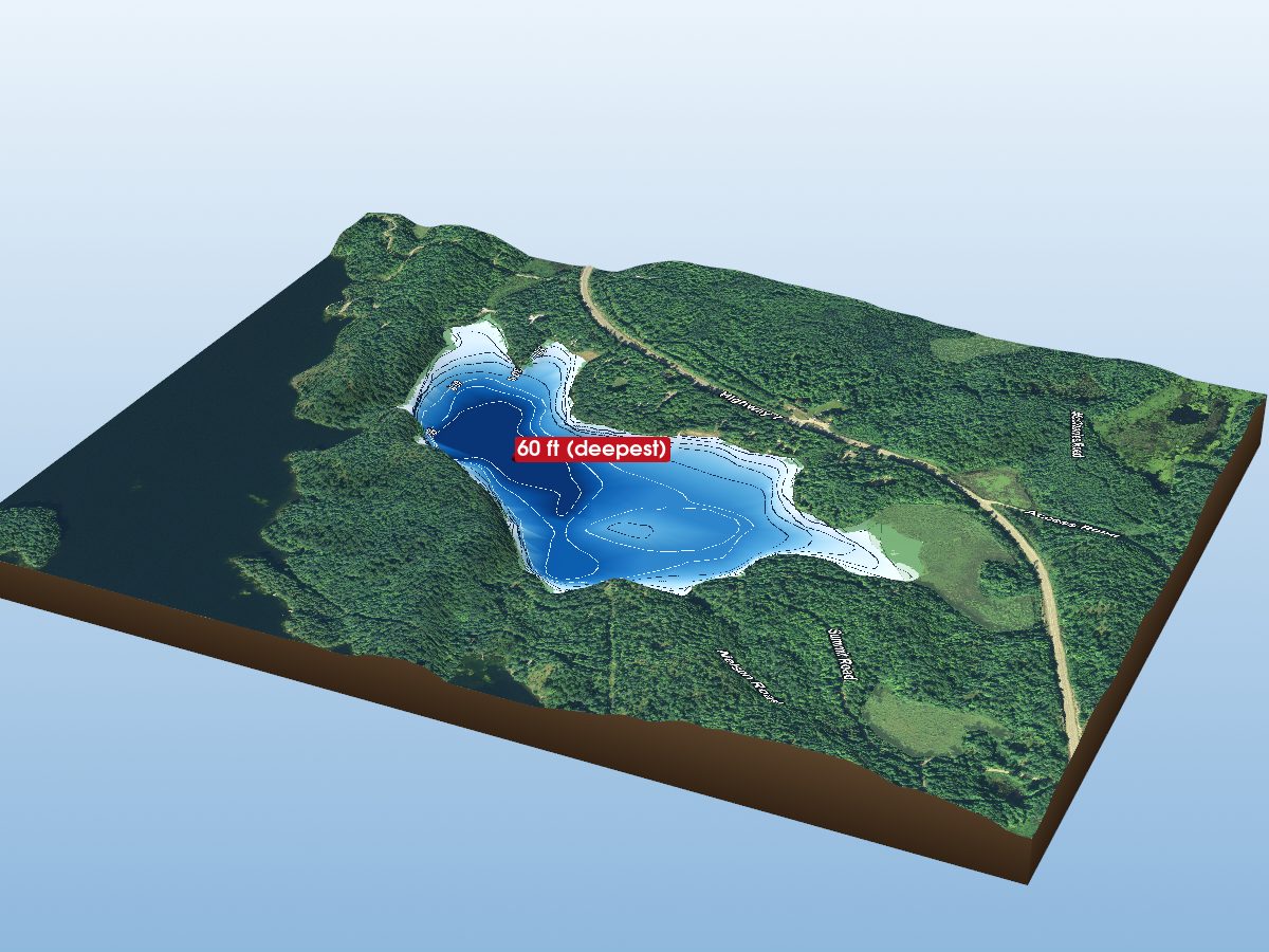
Black Lake
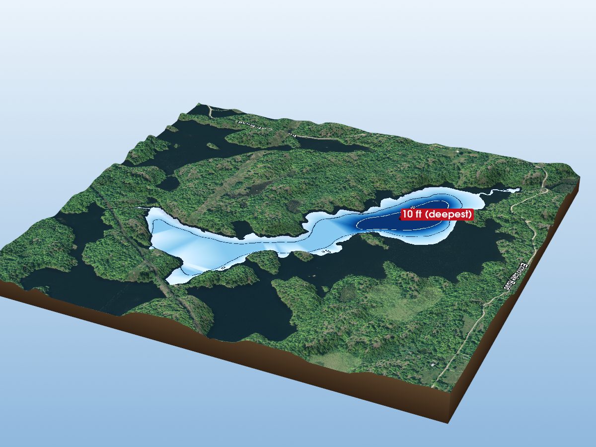
Fourth Deposit Lake
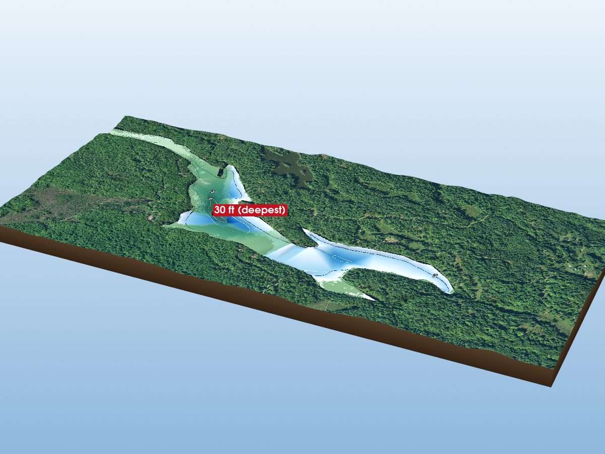
Carnahan Lake
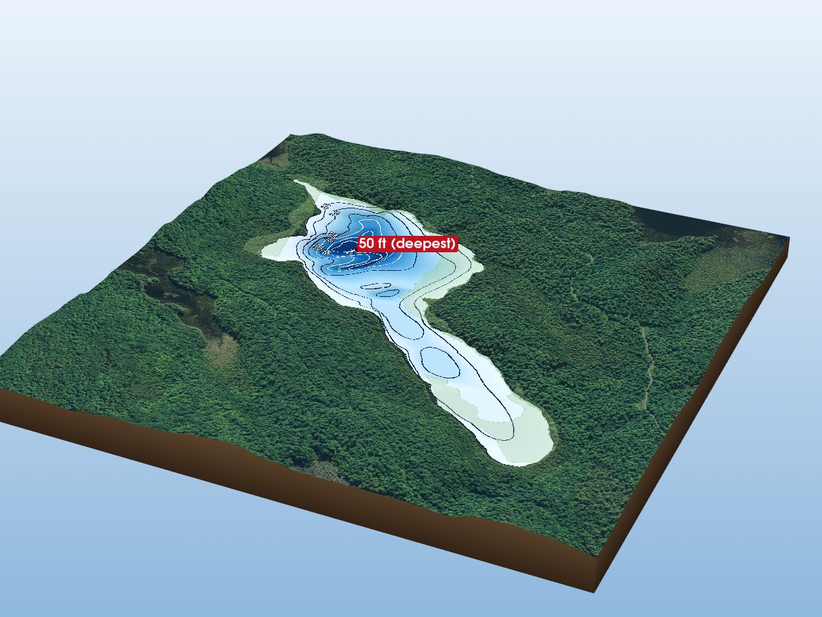
Wolfe Lake
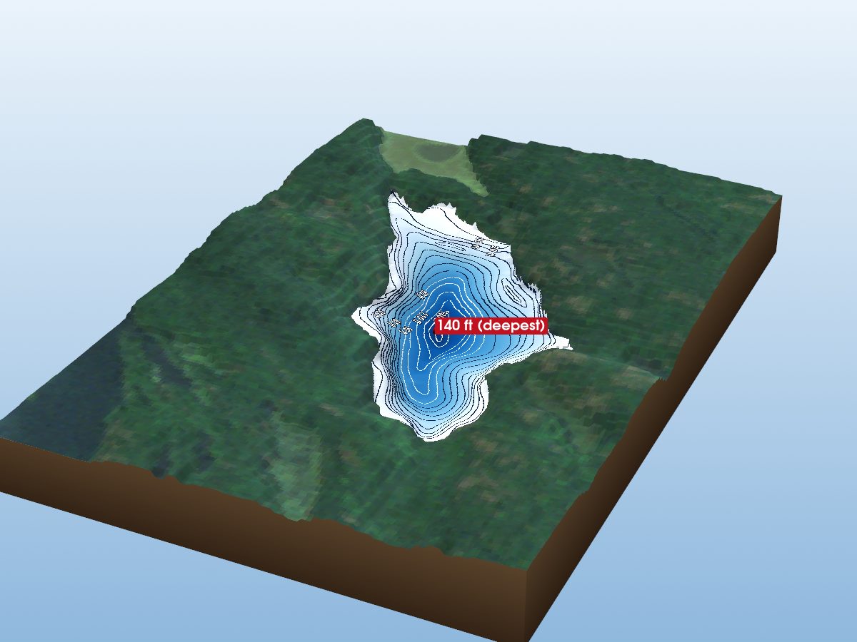
Little Salmon Lake
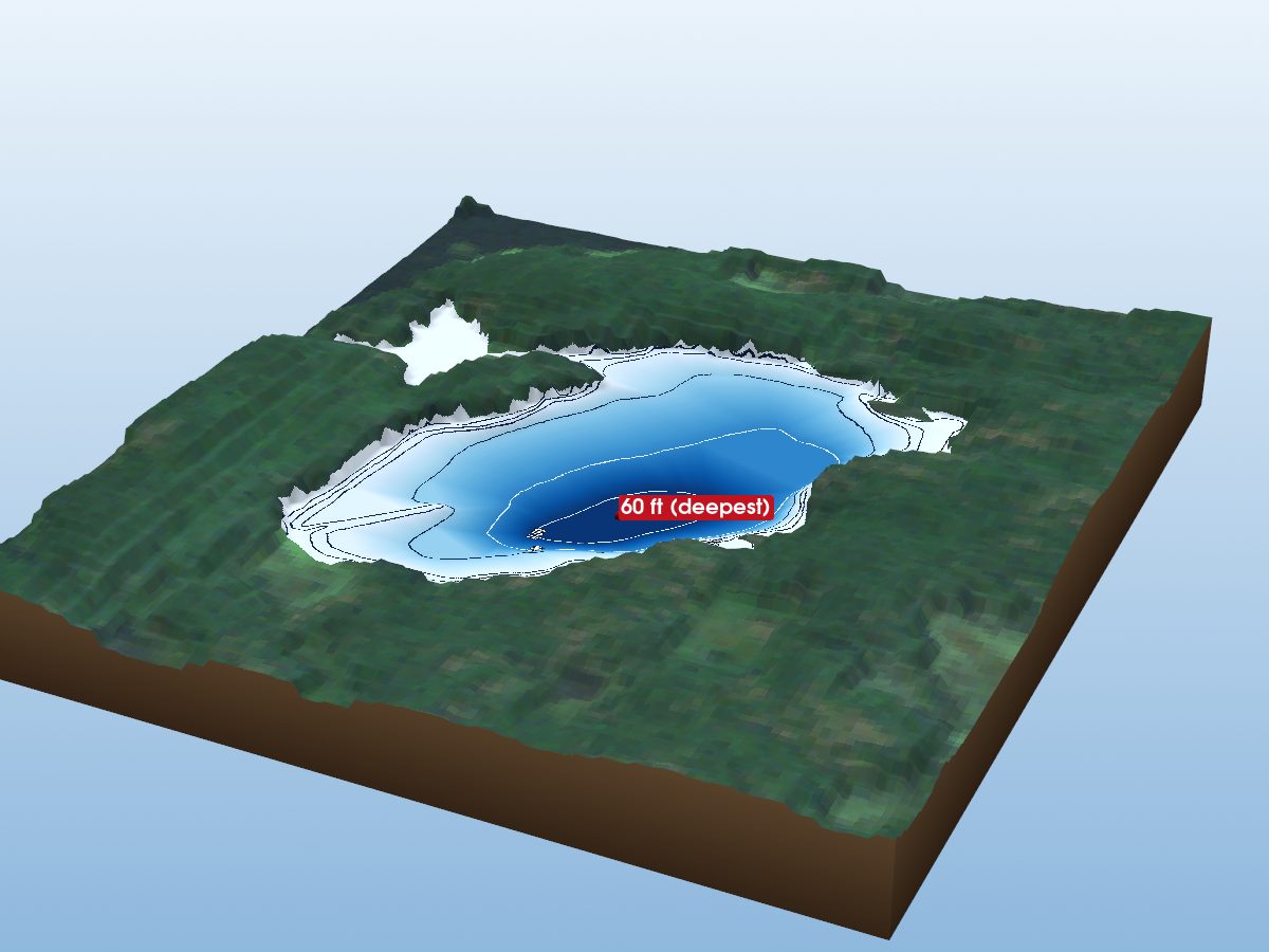
Doe Lake
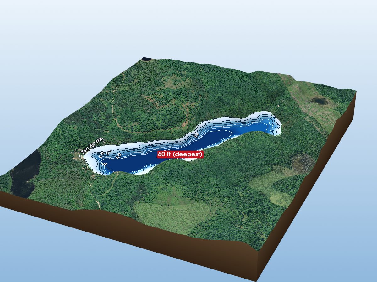
Little Green Lake
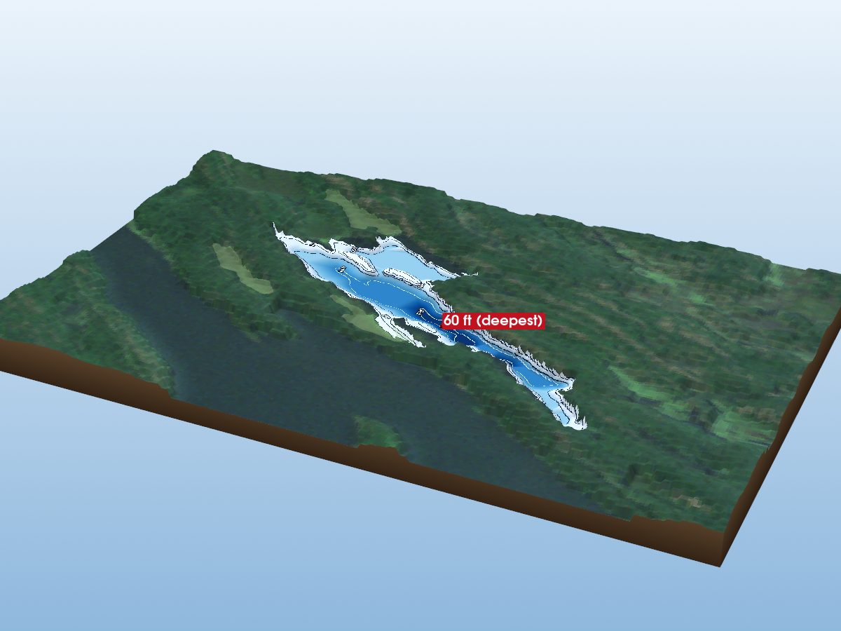
Slide Lake
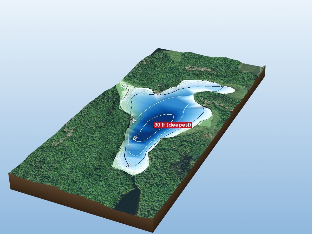
Rock Lake
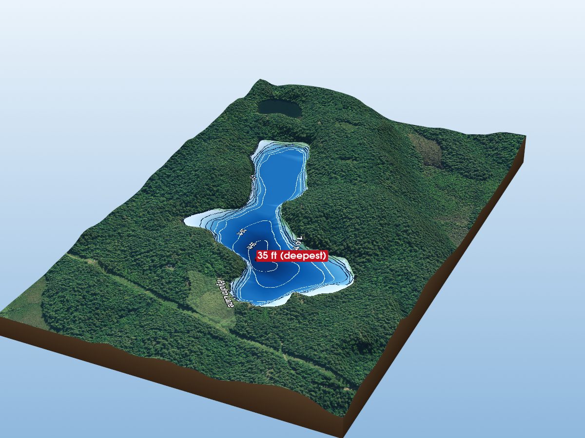
Granite Lake
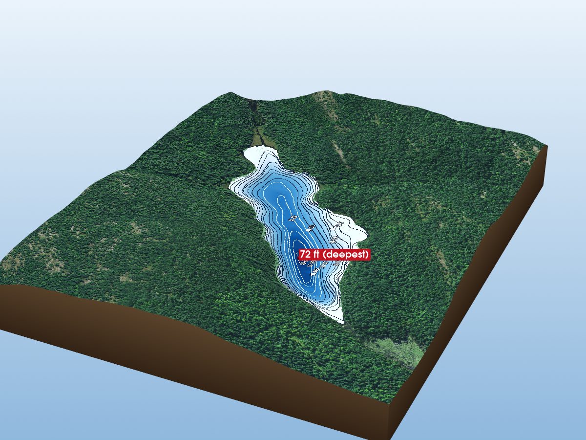
Big Mair Lake
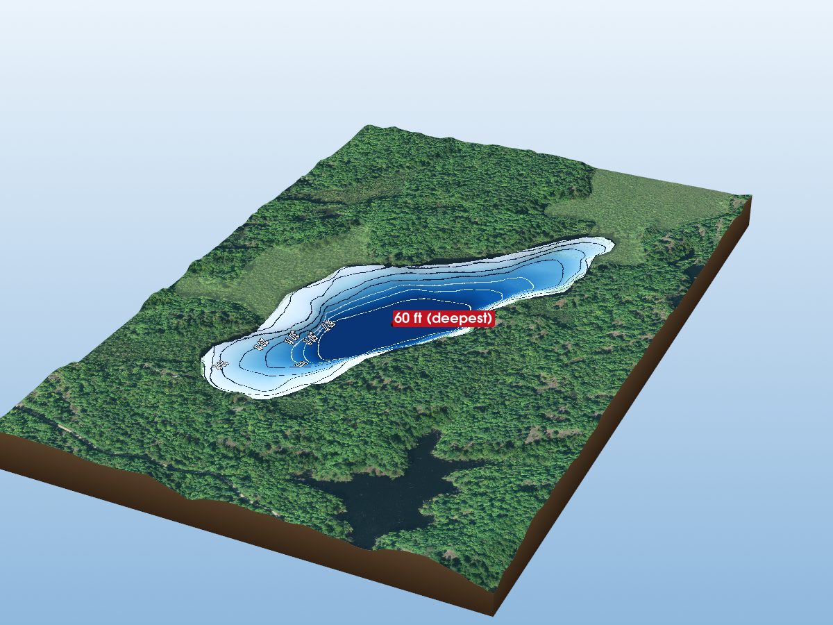
Loon Lake
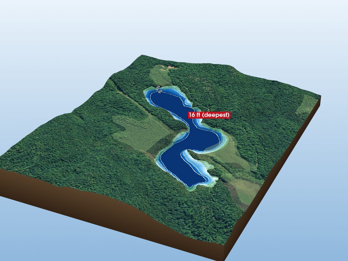
Crib Lake
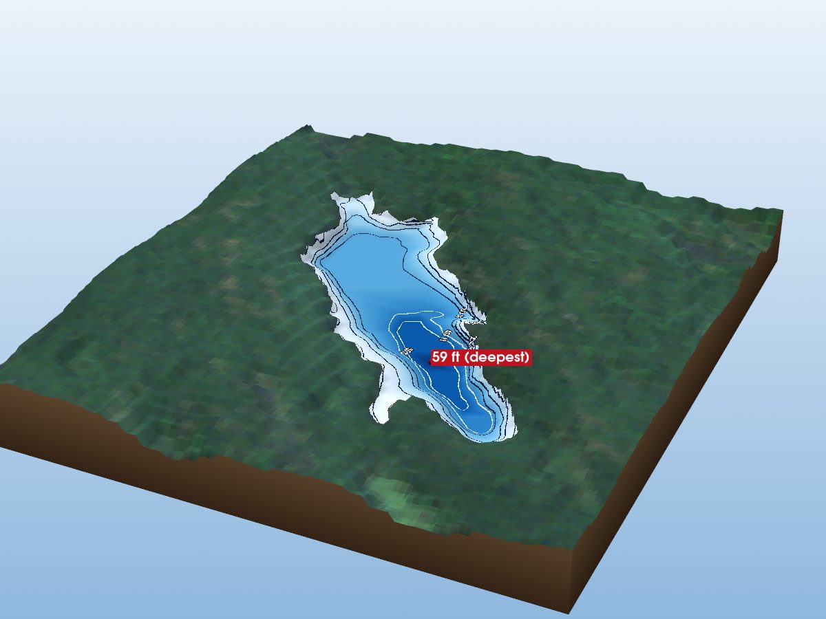
Black Lake
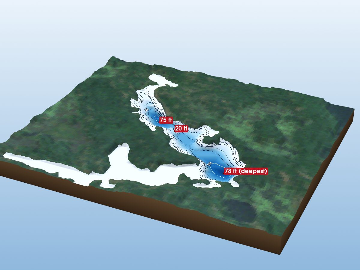
Camel Lake
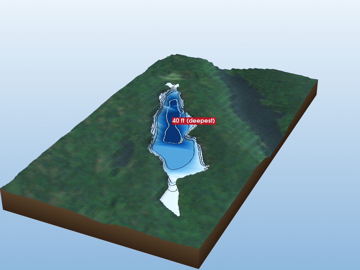
Arkon Lake
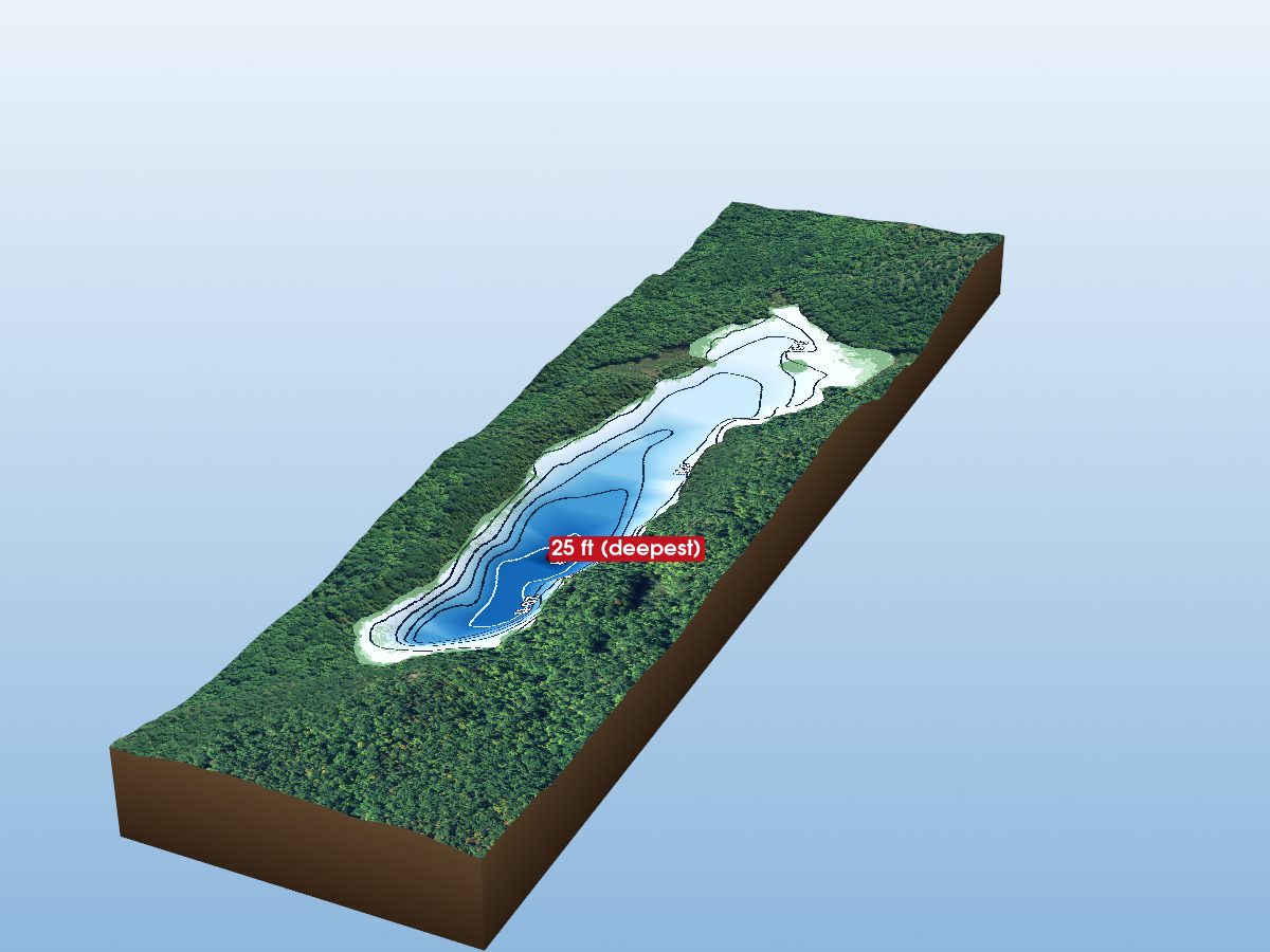
Little Mosque Lake
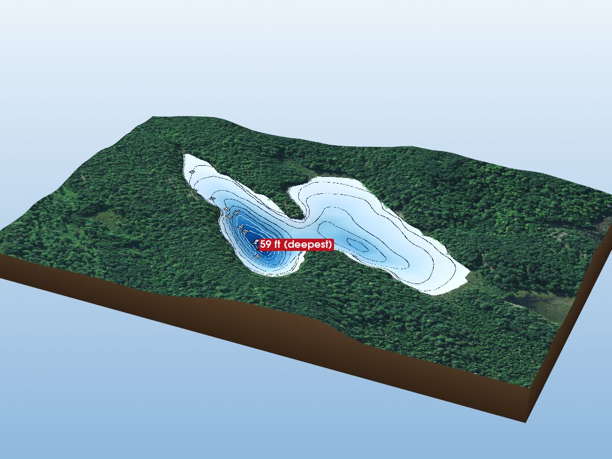
McCreary Lake
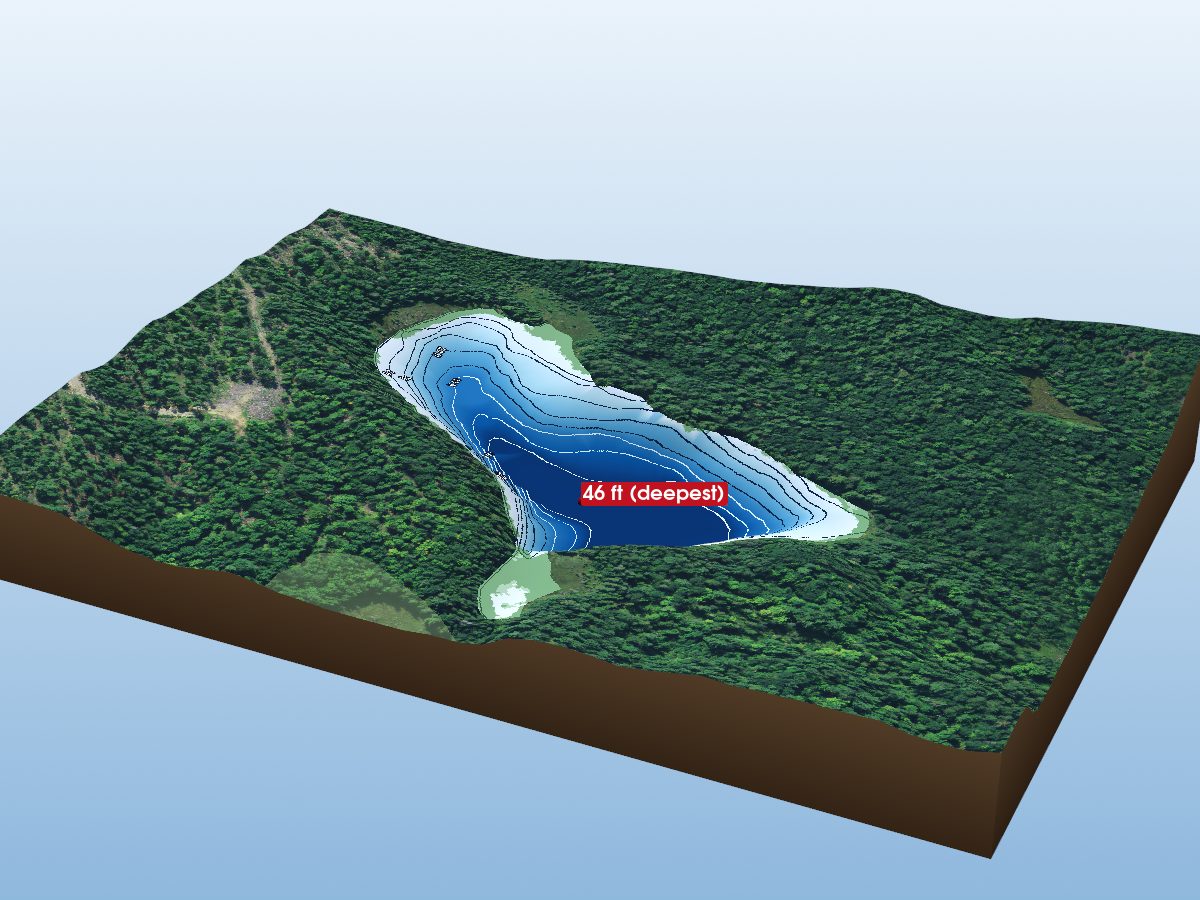
Mousseau Lake
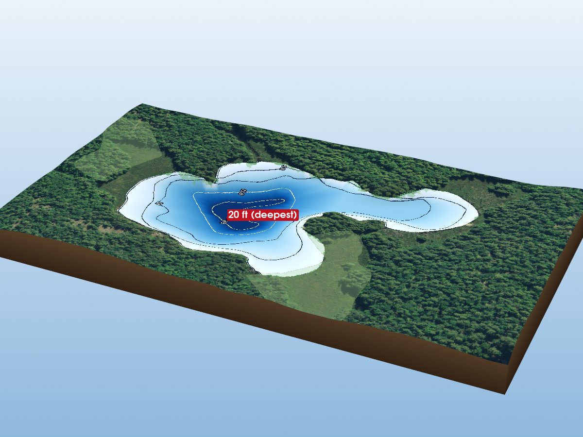
Raindrop Lake
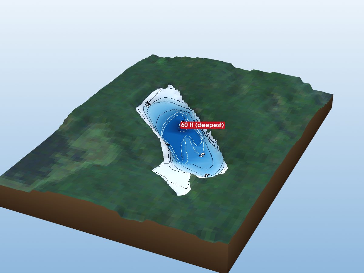
Tetsmine Lake
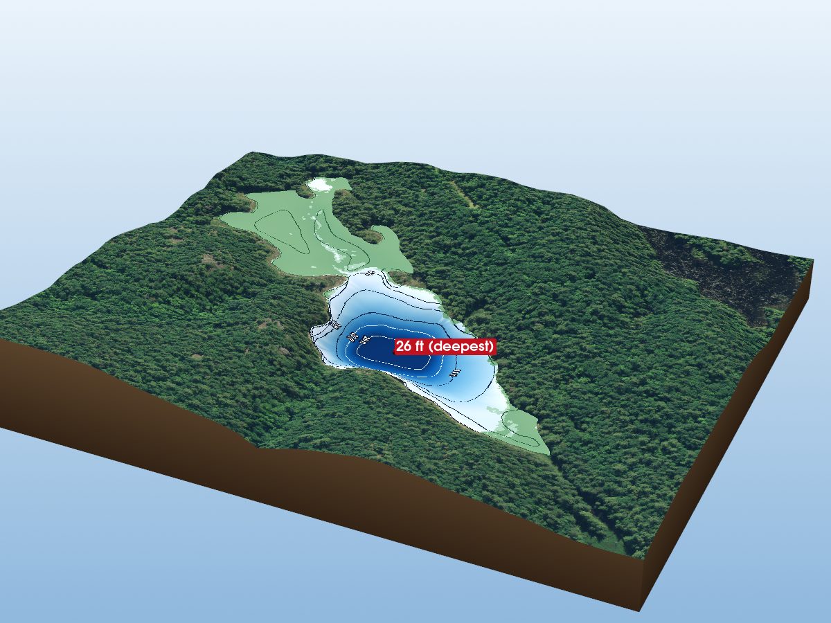
Cranberry Lake
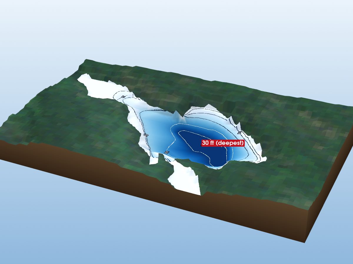
Moulton Lake
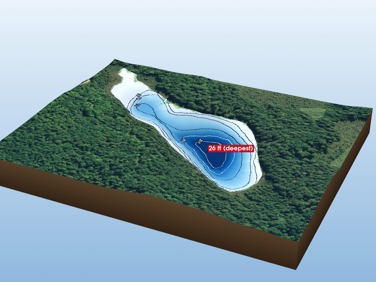
Labine Lake
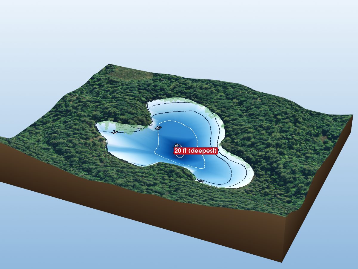
Minnow Lake
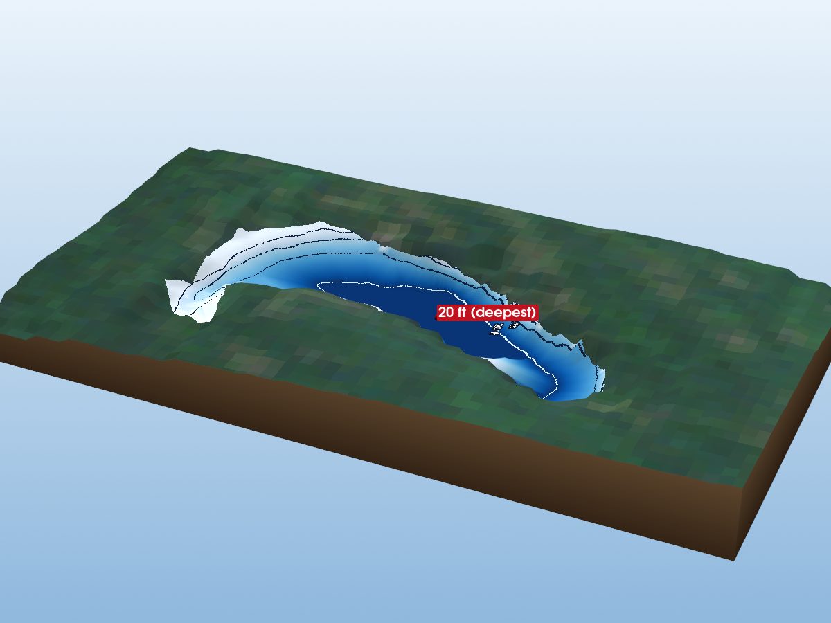
Clearwater Lake
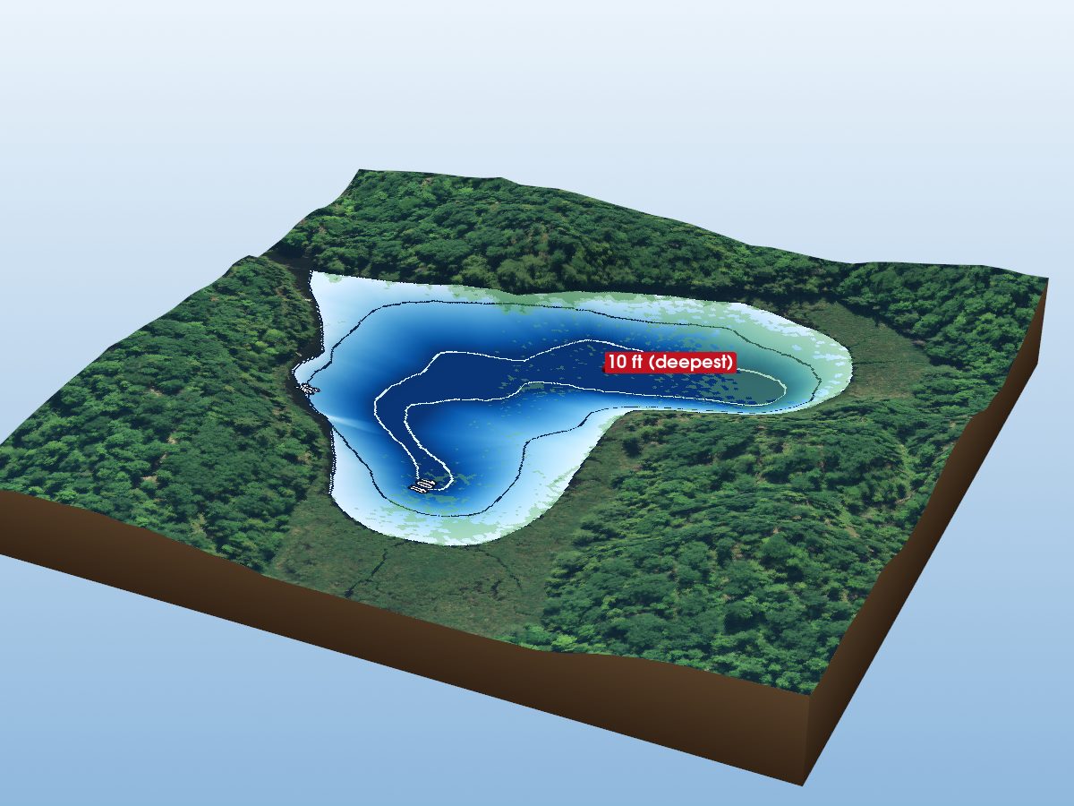
Heart Lake
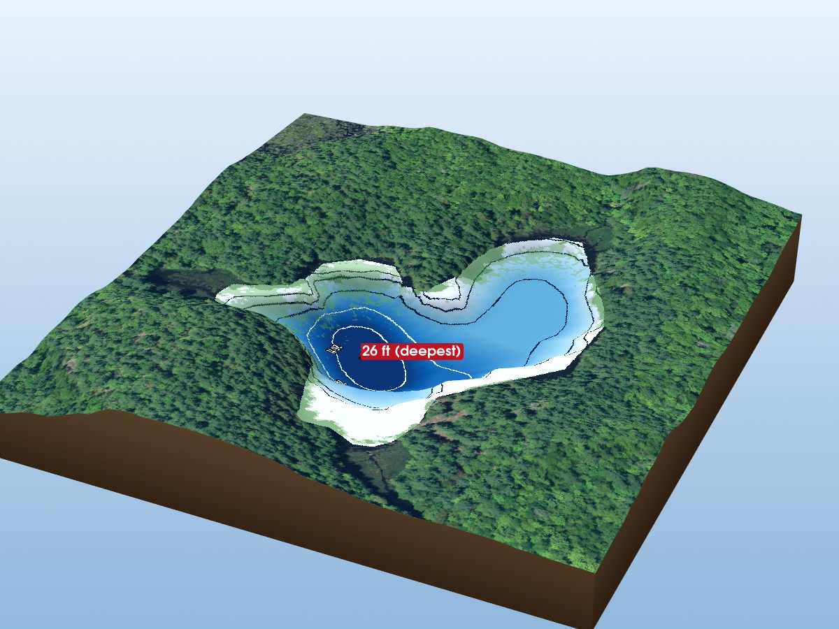
McDowall Lake
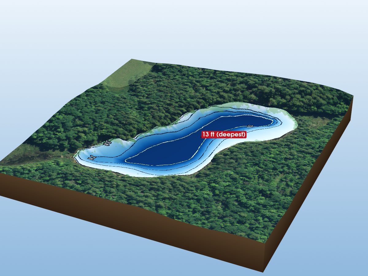
Spot Lake
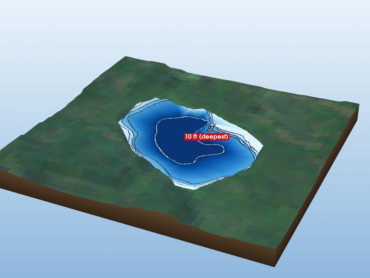
Cedar Lake
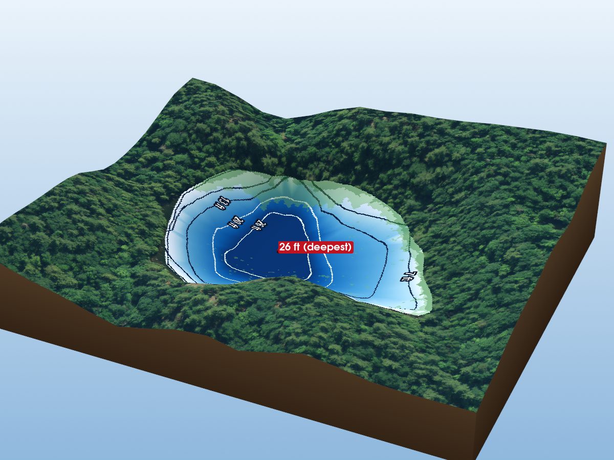
Bullseye Lake
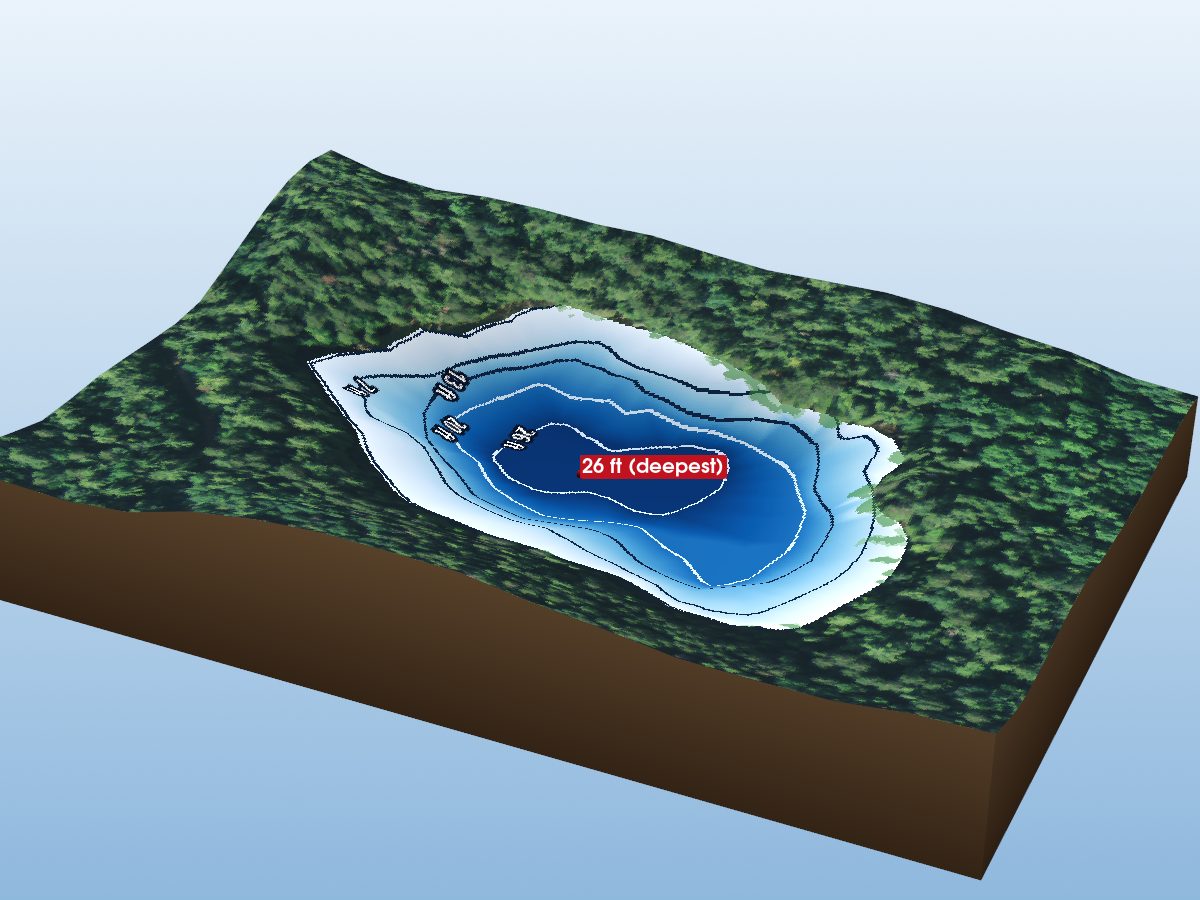
Otter Lake